History Detectives: The 1763 Map Mystery | Alberta Grade 4 Social Studies
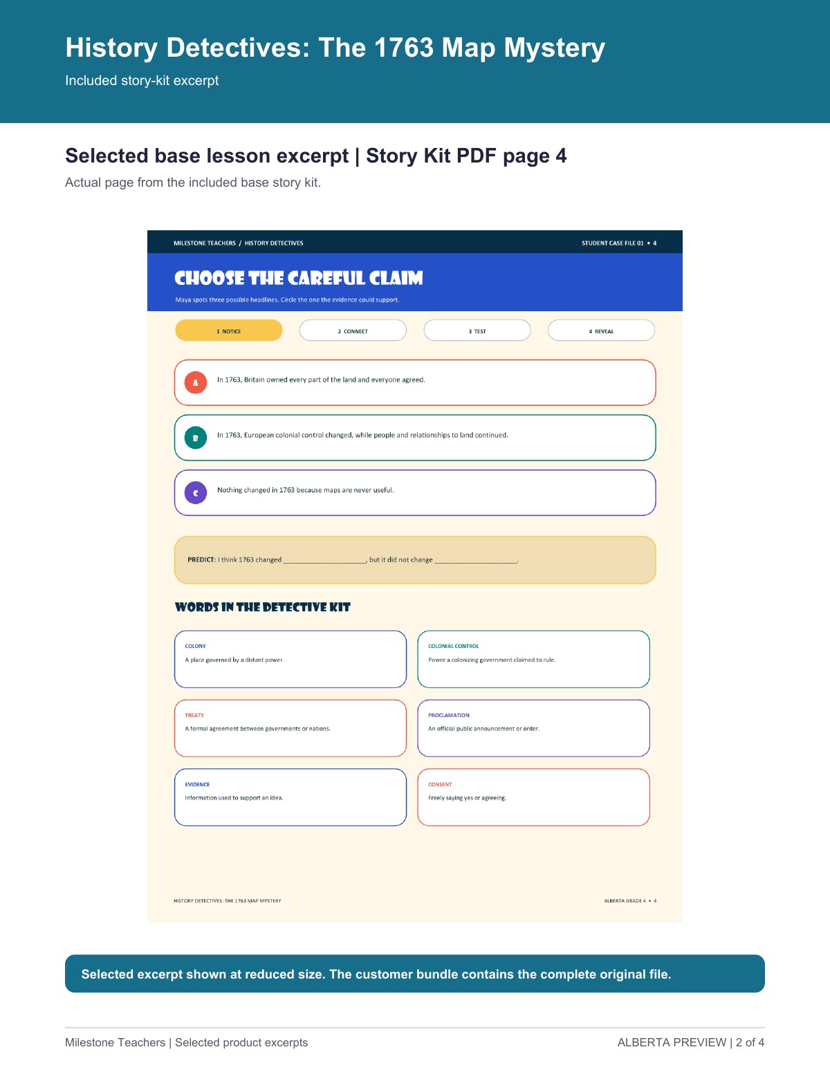
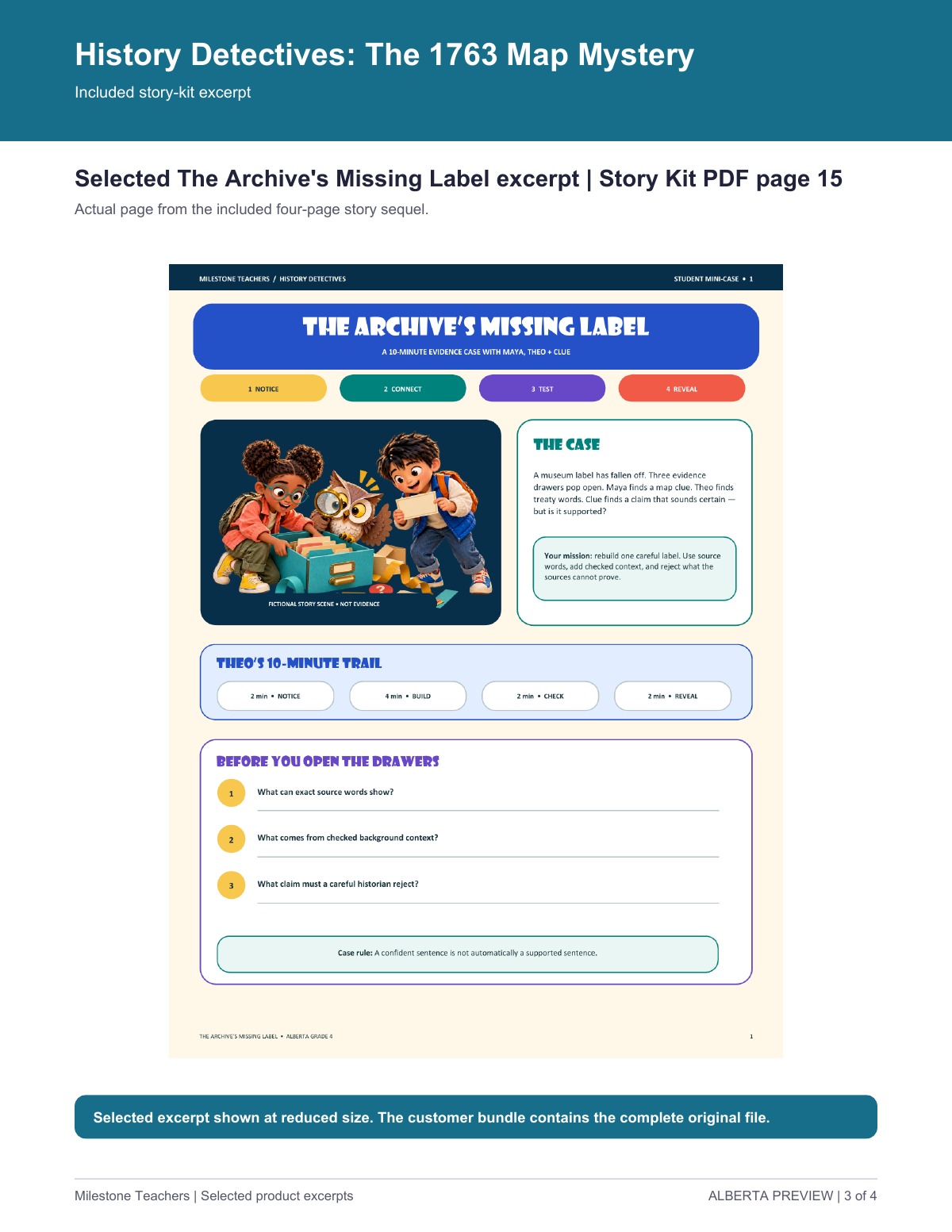
Guide Grade 4 learners through a 1763 map investigation. Students inspect map and treaty evidence, distinguish British military control beginning in 1760 from the 1763 treaty transfer, and identify what a source cannot prove. Includes an 18-page story kit, 10 matching low-ink student pages, 4 projection screens, a 2-page guide, and a single-teacher licence. The Archive's Missing Label adds a careful source-limits challenge. Fictional detectives and illustrated archive scenes are not historical evidence. A European colonial map or treaty cannot establish Indigenous consent or fully represent Indigenous homelands, rights, relationships to land, or everyone's experience. This is focused Alberta Grade 4 support, not a complete unit or official resource.
USD $5.95
Single-teacher licence for use with the purchasing teacher’s own students. Wider staff or school use requires separate permission.
Included files
- History-Detectives-Customer-Edition.zip
Instant download after checkout · Refund for a missing file, duplicate purchase, incorrect charge, or a resource that does not match its description · Made by an Ontario Certified Teacher
Resource licence and purchase terms · Browse resources
Look inside
Selected pages from this resource.
360° teaching & learning profile
A teacher-led 1763 map inquiry that asks students to distinguish source words, checked context, and a source limit while describing colonial change and continuity.
Learning goals
- Make a historical claim that an available source can support.
- Describe a change in European colonial control and a continuity without treating a map or treaty as total evidence.
- Name what a European colonial source cannot show, including Indigenous consent.
Starting points
- Use a map, timeline, and short source excerpt with teacher briefing.
- Understand that fictional characters and artwork are prompts, not historical evidence.
Curriculum connection
- Grade 4 social studies scope: Investigate pre-Confederation changes in power and influence, including the Treaty of Paris and transfer of Canada to British control.
This is a planning anchor, not full alignment or approval. Alberta lists Grades 4-6 social studies implementation for 2026/27; teachers should follow their local transition plan.
Differentiation
Map inquiry route
Run the original three-case inquiry with source evidence visible.
Included: 01-Story-Kit.pdf contains the map inquiry; 02-Low-Ink.pdf contains matching student pages.
Suggested teacher move: Ask separately what the source shows and what it cannot tell us.
Projection route
Rehearse a source-based response before a class reveal.
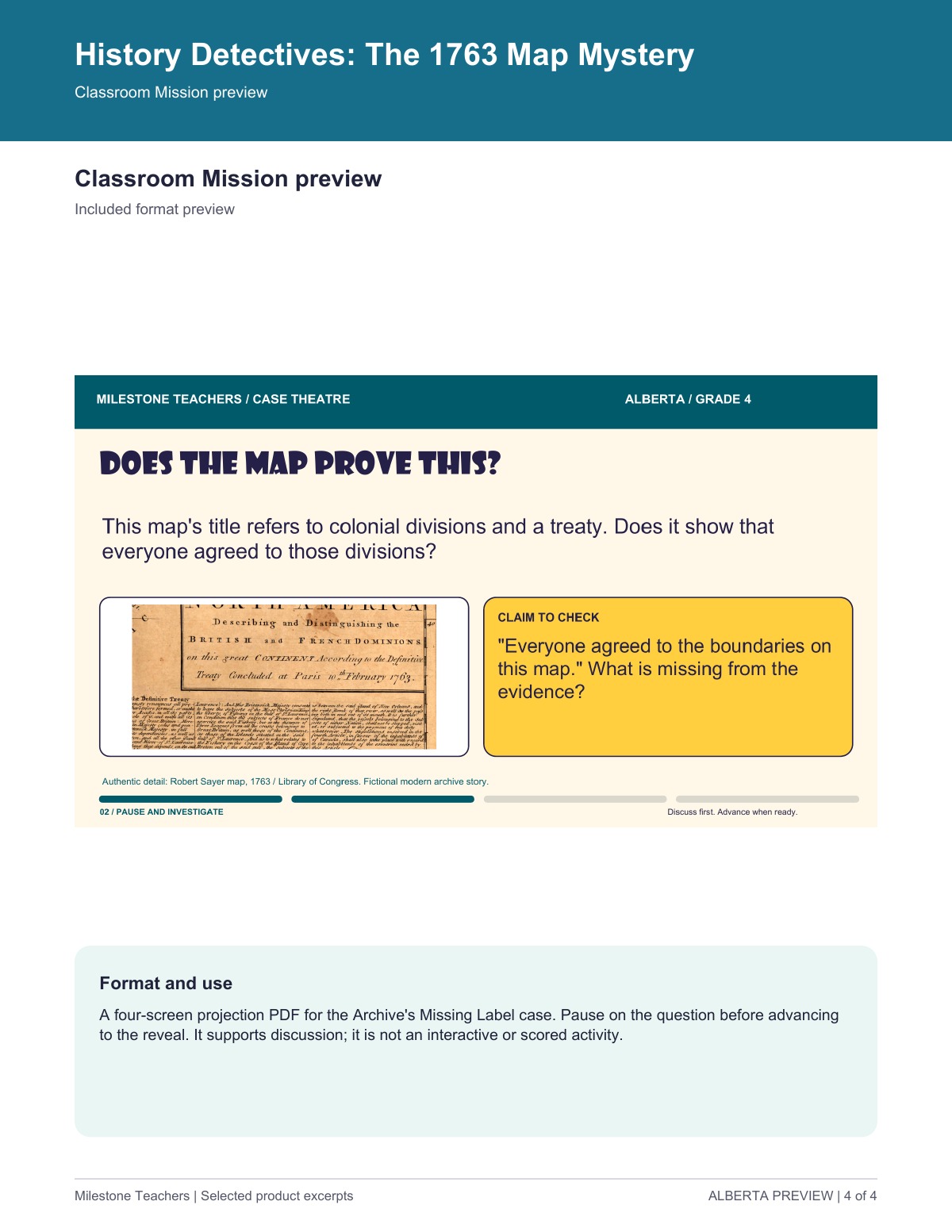
Included: 03-Classroom-Mission.pdf provides four Case Theatre screens for the follow-up case.
Suggested teacher move: Project the authentic map clearly when possible and pause before each reveal.
Response route
Gather a claim connected to evidence without changing the inquiry target.
Included: The student pages allow pointing, circling, drawing, speaking, or writing; the sequel appears in 01-Story-Kit.pdf, pp. 15-18.
Suggested teacher move: Scribe or accept an oral response, then prompt for the exact clue and one source limit.
Universal Design for Learning
Engagement
Included: The case structure offers a shared inquiry sequence and visible stopping points.
Suggested teacher move: Keep the claim-evidence-limit question fixed while partners rehearse a response.
Representation
Included: The kit pairs map details, a timeline, source excerpts, background context, and low-ink pages.
Suggested teacher move: Place the timeline beside the map and label each item as source words, context, or source limit.
Action and expression
Included: Students may point, draw, speak, or write in the case tasks.
Suggested teacher move: Accept oral or scribed explanation while requiring each response to identify evidence and a limit.
Assessment and next steps
A student chooses a claim the source could support rather than an absolute claim about all people or land. Return to a visible source word or map mark and ask what that exact detail can support.
A student distinguishes changed, continued, and unsupported statements. Ask the student to place one statement in a category and name the clue that supports the placement.
A student identifies a source limit, including that European documents do not demonstrate Indigenous consent. Ask two prompts in order: what does this source show, and what is missing from its evidence?
Planning notes
- This profile supports planning; it does not establish full curriculum alignment, approval, or a validated historical-thinking assessment.
- Fictional characters and archive artwork are prompts, not historical evidence.
- A European colonial map or treaty can document colonial claims and actions; it cannot demonstrate Indigenous consent, settle rights, or replace Indigenous perspectives.
- Timeline spacing shows order, not proportional time or every community's experience.